
Atmosphere and Weather
8.3 Controls of Weather and Climate
Latitude
Several controlling factors determine global temperatures. The first and most significant is latitude. Because of the Earth’s shape and the sun’s angle hitting the planet, temperatures are highest near the equator and decrease toward the poles. In fact, at the equator, more energy is absorbed from the sun than is radiated back into space. At the poles, more energy is radiated back into space than is absorbed by the sun. The purpose of weather and ocean currents is to balance out these two extremes.
Land-Water Distribution
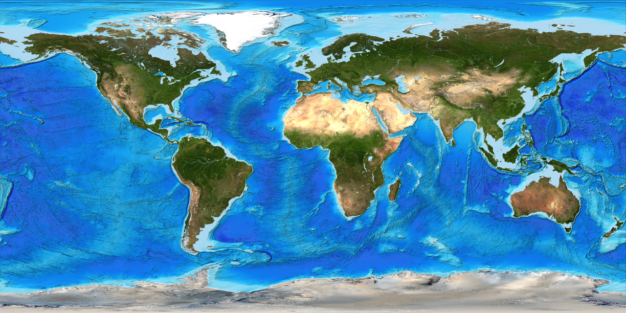
The next impact on temperature is the land-water distribution on the planet. Places near the ocean tend to have milder climates year-round versus regions surrounded by land. This is because the earth can heat up and cool down faster and with more significant fluctuation than the ocean. The reason is that sunlight must heat a larger volume of area in the ocean because light can pass through water. Water requires five times more energy to heat one degree Celsius than for landmasses, called specific heat. Thus, the region’s temperatures found near large bodies of water temperatures change slowly compared to land. Ocean currents are also vital controls in transferring heat around the planet. In the Northern Hemisphere, ocean currents rotate clockwise, bringing cold water from the North Pole toward the equator and warm water from the equator toward the North Pole. The opposite occurs in the Southern Hemisphere, where ocean currents rotate counterclockwise.
Elevation
The last control of temperature is elevation. On average, atmospheric temperature decreases 3.6 degrees Fahrenheit per 1,000 feet rise in elevation. This is called the normal lapse rate or also called the temperature lapse rate.

Moisture and Humidity
For liquid water to evaporate, water molecules must absorb enough energy to break bonds between each other. To do this, the liquid water must absorb energy and heat from the surrounding environment. This release of energy is called latent heat. If the water vapor absorbs enough energy, they will begin to vibrate fast enough to break their molecular bonds and become individual water molecules or gas. Evaporation is a cooling process because it takes heat from the surrounding environment. The concept of latent heat is essential to understand and will be revisited later when cloud formation and severe weather are discussed.

The opposite must occur for water vapor to condense into liquid water. For fast vibrating water molecules to condense into liquid, it must release latent heat to the surrounding environment. Releasing energy allows the water molecules to slow down their vibration and attach to other water molecules to become liquid. However, one step is missing. For water vapor to become liquid, it needs something to condense onto condensation nuclei. Condensation nuclei consist of microscopic dust, smoke, salt particles, or even bacteria that float in the air. It is believed that bacteria make up nearly half of all condensation nuclei. To summarize, for water vapor to condense into small liquid or ice cloud droplets, condensation nuclei must be present.

Humidity is defined as the amount of water vapor in the atmosphere. There are several ways to classify humidity, but we will focus on relative humidity for this course. Relative humidity is the ratio of the atmosphere’s actual water vapor content divided by the amount of water vapor required for atmospheric saturation at that temperature; it is usually expressed as a percentage. If the relative humidity is 25 percent, the atmosphere is only holding a quarter of what it could hold. If the relative humidity is at 100 percent, the atmosphere is saturated.
There are two ways to change relative humidity: moisture content and temperature. If the air temperature stays the same, but the amount of water vapor increases or decreases, relative humidity will change. Next, it should first be noted that warm air can “hold” more moisture than cooler air. If the water content stays the same, but temperature increases, relative humidity will decrease. If the water content stays the same, but the temperature decreases, relative humidity will increase.
Relative humidity is just as the name implies; it is a relative measurement. A more direct measurement and analysis of humidity is dew point; the atmospheric temperature air must cool down to in order for it to condense into liquid water or solid ice crystals. So if the dew point is 42 degrees Fahrenheit for a particular geographic location at a particular time, then the current temperature must fall to 42 degrees for the air to become saturated. The higher the dew point reading, the less air must cool to become saturated and condense. The lower the dew point reading, the more air must cool to become saturated; thus, the air is quite dry. Dew point analysis is vital for weather forecasting in the summer to determine the likelihood of afternoon thunderstorms. If the humidity is high, providing a high dew point measurement, then afternoon convection does not require the unstable moisture to rise as high in order for condensation and thunderstorms genesis to occur. Recall that condensation from water vapor to liquid water or ice crystals releases latent heat is a crucial ingredient for the formation of thunderstorms.
Atmospheric Pressure and Wind
Atmospheric pressure is a force created by the weight of the atmosphere. Because of gravity, air pressure is highest at sea level and decreases with height. There is also high pressure and low pressure. High pressure, also called an anticyclone, occurs when descending air molecules “pile-up” at the surface and spread outward in a clockwise rotation in the Northern Hemisphere. In the Southern Hemisphere, the air within high pressure flows counterclockwise. In either case, the descending air will warm, which prevents water vapor from cooling and condensing into clouds to produce storms. Instead, regions under high pressure tend to experience clear skies. Low pressure, also called a cyclone, occurs when converging air is forced upward (in a counterclockwise manner in the Northern Hemisphere) where it cools and condenses into clouds and possible storms. Ultimately, air flows from high pressure to low pressure, and this is called wind.
When atmospheric high pressure is near atmospheric pressure, there is an imbalance between the atmospheric pressure. The force to balance these two pressure imbalances is called the pressure gradient force, which creates wind. Wind is the horizontal movement of air from high pressure to low pressure to balance atmospheric pressure.
Atmospheric Stability
To have cloud formation, the air must be unstable. Stable air means air does not want to rise, cool, and condense. Thus, weather conditions tend to be clear skies with stable air. Unstable air means the air wants to rise, cool, and condense into clouds and potential storms. The forces that cause air to rise are convection, orographic uplift, convergence, and weather fronts.
Convection occurs when air rises, much like a hot air balloon. Because of albedo, some areas on the ground can get heated more than other areas. Where the land heats up more, the air above also warms, becomes less dense, and rises. If the air rises high enough, it may cool and condense to create clouds and possibly thunderstorms.
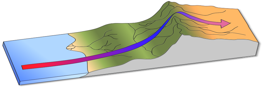
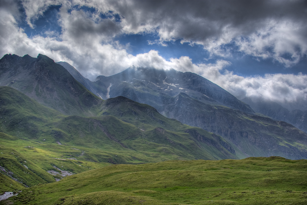
Orographic uplift is when mountains help destabilize air and occur when air must rise over a mountain range. As the air rises over the mountain, the moisture within it may begin to cool and condense to form thunderstorms. Often with orographic uplift, one side of the mountain will be very moist from the storms, while the other side is arid. The dry side of the mountain is called the rainshadow effect. Later we will discuss how this process can generate what is called dry thunderstorms and wildfires.
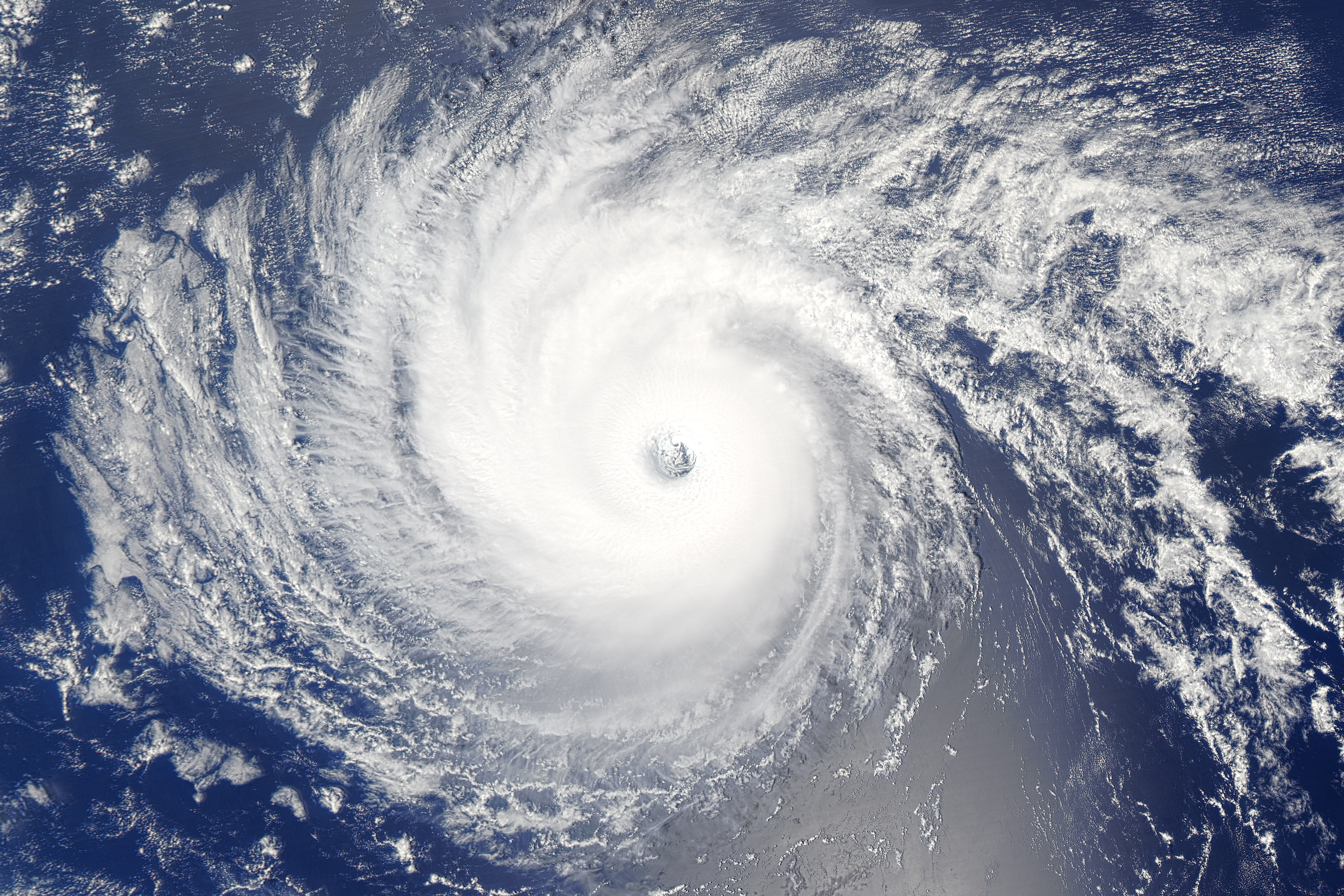
Convergence occurs when air is forced to rise because of low pressure above, causing the rising air to cool and condense into clouds. One of the best examples of this is over Florida. Because Florida is a peninsula, surrounded by water on three sides, the land heats up more than the surrounding water. This causes the air above the land to rise. To replace this rising air, humid and cooler air from the Gulf of Mexico and the Atlantic Ocean converges inward over Florida. This moist air is heated by the land and is forced upward to create powerful thunderstorms. Florida has more thunderstorms and lightning than any other state in the nation. Another excellent example of convergence is the eye of a hurricane because winds and moisture are rotating around the eye until they converge within the eye.
Finally, weather fronts, such as cold fronts, warm fronts, stationary fronts, and occluded fronts, can force air to rise. For example, a cold front occurs when a cold, dense air mass replaces a warm, lighter air mass. The cold air mass plows through, forcing the warmer air mass upward to cool and condense into clouds.
Coriolis Effect
All free moving objects appear to be deflected to the right in the Northern Hemisphere, and to the left in the Southern Hemisphere, because of the rotation of the Earth. This apparent deflection is called the Coriolis effect.
Aside from a football, what else is considered a “free moving” object? Free moving objects include airplanes, ocean currents, clouds, wind, hurricanes, or anything else that is not attached to the earth’s surface. So how does this influence the atmosphere? As winds flow from high to low pressure, it deflects to the right (in the Northern Hemisphere) because of the earth’s rotation. This deflection is nonexistent at the equator and progressively gets stronger towards the poles. Because of this, hurricanes can only form 5-20 degrees north or south of the equator. Near the equator, the water is warm enough, but the Coriolis effect is too weak to make the hurricane rotate. Beyond 20 degrees latitude, the Coriolis effect is strong enough, but the waters are too cold.
