
North America
9.1 Identifying the Region
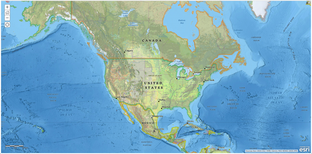
As a continent, North America’s realm extends from the Arctic polar regions in northern Canada and Alaska south through Mexico and Central America. Geographers usually study the continent by dividing it into two separate realms based on physical and cultural geography differences. Both the United States and Canada share similar physical geography characteristics and common development history with either a British or French colonial legacy. Mexico and Central America are dominated by more tropical climates and were colonized mainly by the Spanish. The United States and Canada, the second- and third-largest countries in the world in physical area, respectively, make up more than 13 percent of the world’s total landmass.
The Atlantic Ocean borders its eastern edge, and the Pacific Ocean creates its western boundary. To the north is the Arctic Ocean. The North American region is highly urbanized, with roughly 80 percent of the population lives in cities. However, other vast areas, especially in Canada, are sparsely populated. Although some natives remain, most of North America’s diverse population consists of immigrants or descendants of immigrants from other world regions. The United States is the world’s largest economy, and both countries enjoy high living standards as technologically developed countries.
Click the “Next” button on the lower-right to advance to the next section of the chapter.
